中文
 English
 Русский




I. Introduction to Horizontal Interconnection Wells
Horizontal interconnection wells, also known as “U-shaped” wells, are a combination of horizontal wells and vertical wells that are drilled through by the horizontal wells. In China, most coalbed methane reservoirs are characterized by low porosity, low permeability, and low pressure. These reservoir conditions make it difficult for conventional vertical well fracturing and production techniques to achieve the desired results. However, “U-shaped” wells can expand the coalbed extraction area and improve the conductivity, thereby increasing the recovery rate of coalbed methane.
The key technical challenges of horizontal interconnection wells mainly focus on the horizontal wells. The main tasks for horizontal wells are geological steering and the final target point connection. During the connection process, the horizontal well uses a Measurement While Drilling (MWD) instrument, while the vertical well uses a rotary magnetic positioning interconnection instrument. In the near-target area (within 100 meters of the target point), a point-to-point steering system can be used to eliminate the cumulative errors of the MWD instrument, guiding the drill bit to complete the target connection, similar to threading a needle.
Operation Principle
During the directional connection operation, when the inclined well is drilled to a certain distance from the target point, a probe tube is lowered to the target position on the vertical well side through a winch cable. The probe tube collects the magnetic signals emitted by the rotating magnetic joint and transmits the data through the cable to the surface interface box, and then to a ground-based laptop computer. The computer uses specialized software to analyze and calculate the deviation angle and distance between the drill bit's forward direction and the line connecting the drill bit and the target point. After obtaining the current position deviation parameters through calculation, the information is fed back to the directional personnel to determine the deviation correction plan. The directional engineer then adjusts the toolface angle to correct the azimuth and inclination, gradually guiding the drill bit closer to the target point. When the drill bit is about 120 meters from the target point, the signal can be detected. At a distance of approximately 100 meters from the target point, the azimuth correction can be guided. The closer the distance, the more accurate the calculation results.

2.Operation Case
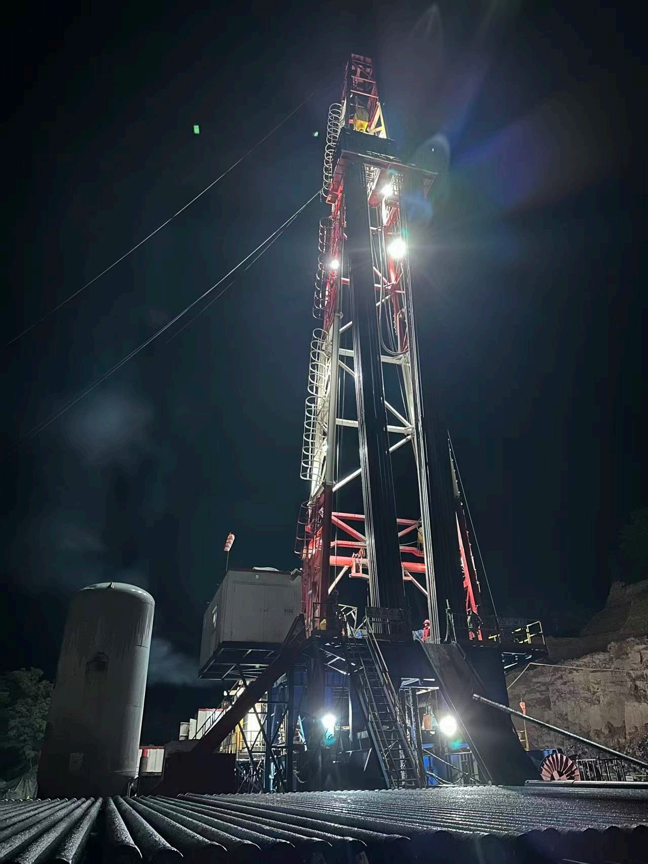
In June 2023, our company undertook the operation service of a “U-shaped” horizontal well in Yili, Xinjiang. The well was designed with a total depth of 1100 meters, a vertical depth of 726.82 meters, and a horizontal section length of 180 meters.
When drilling reached a depth of 970 meters, the well inclination was 89.78°, and the azimuth was 107.17°. With 100 meters remaining for the horizontal section connection, the drill string was pulled out of the hole (POOH) for circulating and then the magnetic steering sub was run in hole (RIH). Meanwhile, the counterpart well B-01 was cleaned and the magnetic steering probe was run in hole.
The actual total drilling depth reached 1078 meters, with a horizontal section length of 171 meters. The reservoir penetration rate was 100%, and the connection was successfully completed.


Trajectory Profile

Well Connection Critical Control Point Diagram